Tax Assessment Block Folder, Kansas City, MO, District 7, Block 39
Folder contains photographs of residences in the Blue Valley Industrial District, from 9th Street south to 10th Street, and Crystal Avenue east to Eastern Avenue.
Street Names
Folder contains photographs of residences in the Blue Valley Industrial District, from 9th Street south to 10th Street, and Crystal Avenue east to Eastern Avenue.

Folder contains photographs of residences and other buildings in the Blue Valley Industrial District, from 11th Street south to 12th Street, and Crystal Avenue east to Eastern Avenue.

Folder contains photographs of residences in the Blue Valley Industrial District, from 10th Street south to 11th Street, and Crystal Avenue east to Eastern Avenue.

Folder contains photographs of residences, businesses, and other buildings in the Blue Valley Industrial District, from 14th Street south to 15th Street (later Truman Road), and Crystal Avenue east to Eastern Avenue.

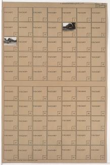
Folder contains photographs of residences in the Blue Valley neighborhood, from 17th and 18th Streets south to the Blue River and 19th Street, and from the railroad tracks east to Eastern and Winchester Avenues, including a section of Bristol Avenue. Folder also contains plat map of the block, which can be viewed below.

Map of block in the Blue Valley neighborhood, from 17th and 18th Streets south to the Blue River and 19th Street, and from the railroad tracks east to Eastern and Winchester Avenues, including a section of Bristol Avenue, containing information about tax assessment values of included properties, and illustrating lot numbers for the block. Photographs of properties on the block can be viewed below.

Folder contains photographs of residences in the Eastwood Hills neighborhood, south of 47th Street and west of Eastern Avenue.