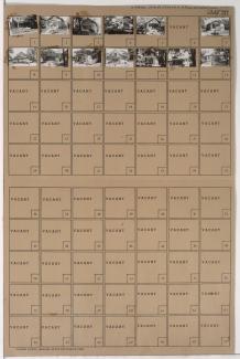
Tax Assessment Block Folder, Kansas City, MO, District 11, Block 163

Folder contains photographs of buildings in the Volker neighborhood, from the railroad tracks north to 34th Street and east to Terrace Street.
Street Names
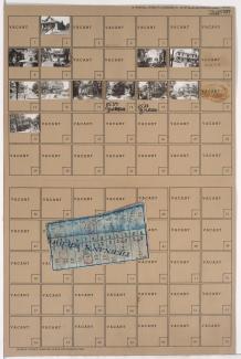
Folder contains photographs of buildings in the Volker neighborhood, from the railroad tracks north to 34th Street and east to Terrace Street.
Folder contains photographs of residences, businesses, and other buildings in the Volker neighborhood, from 31st Street south to 32nd Street, and Bell Street east to Roanoke Street. Tnemec Company, at 3122-3124 Roanoke, and Battenfeld Grease and Oil Company, at 3128-3130 Roanoke, are among the buildings pictured.
Folder contains photographs of residences, businesses, and other buildings in the Volker neighborhood, from 31st Street south to 32nd Street, and the state line east to Bell Street.

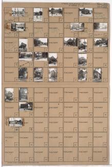
Folder contains photographs of residences in the Volker neighborhood, from 32nd Street south to 35th Street, and the state line east to Bell Street.

Folder contains photographs of residences in the Volker neighborhood, from 32nd Street south to 32nd Terrace, and Bell Street east to Roanoke Road.
Folder contains photographs of residences in the Volker neighborhood, from 32nd Terrace south to 33rd Street, and Bell Street east to Roanoke Road.

Folder contains photographs of residences in the Volker neighborhood, from 33rd Street south to 34th Street, and Bell Street east to Genessee Street.

Folder contains photographs of residences in the Volker neighborhood, from 34th Street south to 34th Terrace, and Bell Street east to Genessee Street.

Folder contains photographs of residences in the Volker neighborhood, from 34th Terrace south to 35th Street, and Bell Street east to Genessee Street.

Folder contains photographs of residences and apartment buildings in the Volker neighborhood, from 35th Street south to 35th Terrace, and Bell Street east to Genessee Street. Folder also includes a plat map of the block.

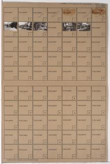
Folder contains photographs of residences and other buildings in the Volker neighborhood, from Park Court south to Roanoke Parkway, and Karnes Boulevard east to Wyoming Street. Folder also includes a plat map of the block.

Folder contains photographs of residences, apartments, and other buildings in the Volker neighborhood, from 37th Street south to Valentine Road, and Wyoming Street east to Roanoke Drive. Volker School, at 3715 Wyoming, is among the buildings pictured. Folder also includes a plat map of the block.
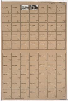
Folder contains photographs of residences in the Volker neighborhood, from 35th Street south to 35th Terrace, and Wyoming Street east to Terrace Street.

Folder contains photographs of residences in the Volker neighborhood, from 35th Terrace south to Park Court, and Wyoming Street east to Terrace Street. Folder also includes a plat map of the block.

Folder contains photographs of apartment buildings in the Volker neighborhood, between Wyoming Street and Roanoke Parkway. Folder also includes a plat map of the block.
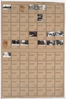
Folder contains photographs of residences in the Volker neighborhood, from 35th Street south to 35th Terrace, and Genessee Street east to Wyoming Street.
Folder contains photographs of residences and apartment buildings in the Volker neighborhood, from 35th Terrace south to 36th Street, and Genessee Street east to Wyoming Street. Folder also includes a plat map of the block.

Folder contains photographs of residences and apartment buildings in the Volker neighborhood, from 36th Street south to 37th Street, and Genessee Street east to Wyoming Street. Folder also includes a plat map of the block.

Folder contains photographs of residences and apartment buildings in the Volker neighborhood, from 37th Street south to Valentine Road, and Genessee Street east to Wyoming Street. Folder also includes a plat map of the block.

Folder contains photographs of residences in the Volker neighborhood, from 35th Terrace south to 36th Street, and Bell Street east to Genessee Street. Folder also includes a plat map of the block.