Tax Assessment Block Folder, Kansas City, MO, District 12, Block 209
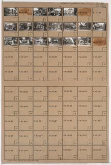
Folder contains photographs of residences in the Western 49-63 neighborhood, from 60th Street south to 61st Street, and Oak Street east to Locust Street.
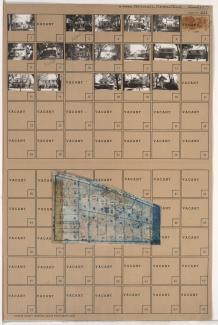
Street Names
Folder contains photographs of residences in the Western 49-63 neighborhood, from 60th Street south to 61st Street, and Oak Street east to Locust Street.
Folder contains photographs of residences in the Western 49-63 neighborhood, from 61st Street south to 62nd Street, and Rockhill Road east to Harrison Street.

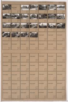
Folder contains photographs of residences in the Western 49-63 neighborhood, from 60th Street south to 61st Street, and Locust Street east to Cherry Street.

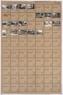
Folder contains photographs of residences in the Western 49-63 neighborhood, from 60th Street south to 61st Street, and Cherry Street east to Kenwood Avenue.

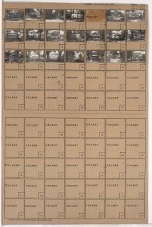
Folder contains photographs of residences in the Western 49-63 neighborhood, from 60th Street south to 61st Street, and Kenwood Avenue east to Holmes Street.
Folder contains photographs of residences in the Western 49-63 neighborhood, from 60th Street south to 61st Street, and Holmes Street east to Charlotte Street.

Folder contains photographs of residences in the Western 49-63 neighborhood, from 60th Street south to 61st Street, and Charlotte Street east to Rockhill Road.

Folder contains photographs of residences in the Western 49-63 neighborhood, from 61st Street south to 62nd Street, and Harrison Street east to Troost Avenue.

Folder contains photographs of residences and businesses in the Western 49-63 neighborhood, from 60th Street south to 61st Street, and Harrison Street east to Troost Avenue. Quigley Music Studios, at 6026 Troost, and Parker's Market, at 6060 Troost, are among the buildings pictured.

Folder contains photographs of residences in the Astor Place neighborhood, from 61st Street south to 62nd Street, and Charlotte Street east to Rockhill Road.

Folder contains photographs of residences in the Astor Place neighborhood, from 61st Street south to 62nd Street, and Holmes Street east to Charlotte Street.

Folder contains photographs of residences in the Astor Place neighborhood, from 61st Street south to 61st Terrace, and Cherry Street east to Holmes Street.

Folder contains photographs of residences in the Astor Place neighborhood, from 61st Street south to 61st Terrace, and Oak Street east to Cherry Street.
Folder contains photographs of residences in the Morningside neighborhood, from Morningside Drive south to 61st Street, and Main Street east to Walnut Street.

Folder contains photographs of residences in the Morningside neighborhood, from 60th Street south to 61st Street, and McGee Street east to Oak Street.

Folder contains photographs of residences in the Morningside neighborhood, from Morningside Drive south to 61st Street and west to Walnut Street.

Folder contains photographs of residences in the Morningside neighborhood, from 60th Street south to 61st Street, and Morningside Drive east to McGee Street.

Folder contains photographs of residences in the Morningside neighborhood, from 61st Street south to 62nd Street, and Walnut Street east to Morningside Drive.

Folder contains photographs of residences in the Morningside neighborhood, from 59th Street south to 61st Street, and Brookside Boulevard east to Main Street.
Folder contains photographs of residences in the Wornall Homestead neighborhood, from Huntington Road south to 61st Street, and Wyandotte Street east to Brookside Boulevard. Folder also includes a plat map of the block.