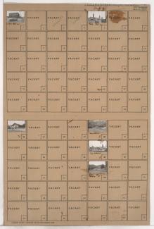
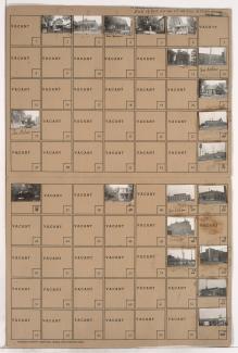
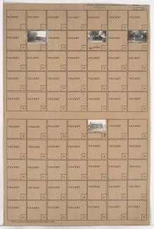
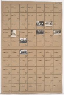
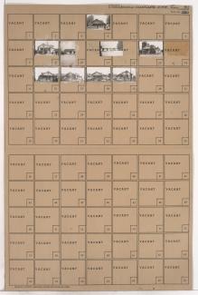
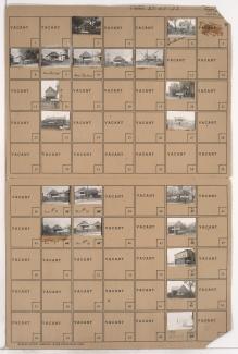
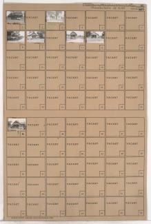
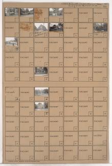
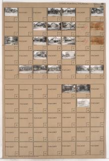
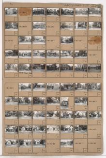
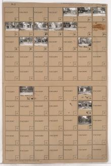
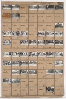
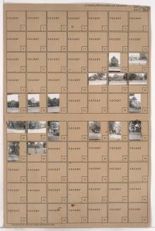
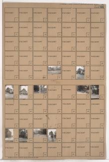
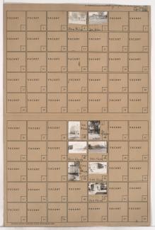
Tax Assessment Block Folder, Kansas City, MO, District 2, Block 37
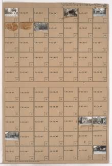
Folder contains photographs of residences and businesses in the East Bottoms area, from Nicholson Avenue south to Rochester Avenue, and Montgall Avenue east to Chestnut Avenue.
Folder contains photographs of residences and industrial buildings in the Northeast Industrial District, from the Missouri River on the northwest and Olive Avenue on the northeast, to Nicholson Avenue on the southeast and a line contiguous with Troost Avenue on the west.
Folder contains photographs of businesses and industrial buildings in the Northeast Industrial District, from Nicholson Avenue south to June Avenue, and containing Cleveland Avenue, and an adjacent area from Cleveland Avenue west to a line contiguous with Monroe Avenue.
Folder contains photographs of residences, businesses, and industrial facilities in the Northeast Industrial District, on two adjacent blocks: one between the Missouri River and rail lines, and the second from Owen Avenue south to Nicholson Avenue, and Montgall Avenue east to Kansas Avenue. The Speas Vinegar plant, at 2400 Nicholson Avenue, is among the buildings pictured.
Folder contains photographs of residences and other buildings in the Northeast Industrial District, from Owen Avenue south to Nicholson Avenue, and Garland Avenue east to Prospect Avenue.
Folder contains photographs of residences in the Northeast Industrial District, from Owen Avenue south to Nicholson Avenue, and Prospect Avenue east to Montgall Avenue.
Folder contains photographs of residences and businesses in the Northeast Industrial District, from Lorene Avenue south to Nicholson Avenue, and Walrond Avenue east to Indiana Avenue.
Folder contains photographs of residences and businesses in the Northeast Industrial District, on two parcels: one from Owen Avenue south to Lorene Avenue, and from Block 21 east to Bellefontaine Avenue, and the other from Gardner Avenue south to Owen Avenue and Nicholson Avenue, and Bellefontaine Avenue east to Monroe Avenue.
Folder contains photographs of residences in the Northeast Industrial District, from Nicholson Avenue south to Guinotte Avenue, and from a line contiguous with Indiana Avenue east to a line contiguous with Monroe Avenue.
Folder contains photographs of residences and other buildings in the Northeast Industrial District, from Nicholson Avenue south to Rochester Avenue, and Agnes Avenue east to a line contiguous with Indiana Avenue, including a section of Martin Avenue.
Folder contains photographs of residences in the Martin Place addition, from Nicholson Avenue south to Martin Avenue, and Chestnut Avenue east to Kansas Avenue.
One of two folders containing photographs of residences and businesses in the East Bottoms area, from Nicholson Avenue south to Rochester Avenue, and Prospect Avenue east to Montgall Avenue. Children can be seen playing in several of the photographs. Wesley Community Center, at 720 North Montgall, is among the buildings pictured.
Second of two folders containing photographs of residences in the East Bottoms area, from Nicholson Avenue south to Rochester Avenue, and Prospect Avenue east to Montgall Avenue.
Folder contains photographs of residences in the East Bottoms area, from Nicholson Avenue south to Rochester Avenue, and Garland Avenue east to Prospect Avenue.
Folder contains photographs of residences and other buildings in the East Bottoms area, from Nicholson Avenue south to Rochester Avenue, and Wabash Avenue east to Garland Avenue. Industrial buildings can be seen in the background of many images. Martin School, at 716 North Garland, Garland Avenue Methodist Church, at 728 North Garland, and Valley Memorial Baptist Church, at 2506 Rochester, are among the buildings pictured.
Folder contains photographs of residences and businesses in Hamlin's Addition, from Nicholson Avenue south to Rochester Avenue, and Olive Avenue east to Wabash Avenue.
Folder contains photographs of residences and industrial buildings in the Northeast Industrial District, from Nicholson Avenue on the northeast, south to Rochester Avenue and east to Olive Avenue. Ralston Purina Company facilities are among the buildings pictured.