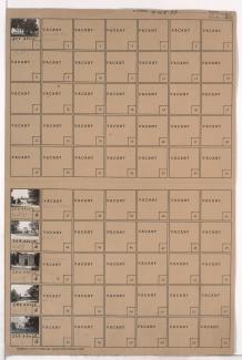
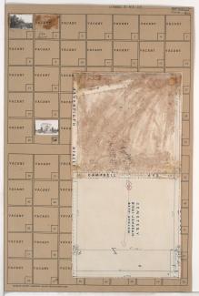
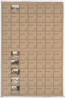
Tax Assessment Block Folder, Kansas City, MO, District 6, Block 139
Folder contains a photograph of a building in Elmwood Cemetery, from 12th Street south to 15th Street (later Truman Road), and Elmwood Avenue east to Van Brunt Boulevard.
Folder contains photographs of buildings in and around the Forest Hill and Calvary Cemeteries, in the Neighbors United for Action Neighborhood.
Folder contains photographs of businesses and other buildings in the Holmes Park neighborhood, from 69th Street south to 70th Street, and Holmes Road east to Troost Avenue, including a section of Campbell Street. Suddarth Funeral Home, at 69th and Troost, is among the buildings pictured. Folder also includes a plat map of the block.
Folder contains photographs of residences and other buildings in the Red Bridge North neighborhood south of the 1940 Kansas City city limits, south of 103rd Street and east of Holmes Road. The Mt. Moriah Cemetery's Temple Mausoleum is among the buildings pictured.
Detail map of District 16 of the 1940 tax assessment project. Map illustrates block numbers, appraised values, and plat boundaries, as well as streets, a Kansas City Public Service Company right of way, and other features. The map covers an area from 63rd Street south to Kansas City's 1940 southern city limits, and from Troost Avenue east to Prospect Avenue.
Detail map of the southern section of District 30 of the 1940 tax assessment project. Map illustrates block numbers, appraised values, and plat boundaries, as well as streets, railroads, and other features. The map covers an area of central Jackson County, Missouri, primarily south of Sugar Creek and Independence to 59th Street, and west of Lee's Summit Road.
Detail map of District 4 of the 1940 tax assessment project. Map illustrates block numbers, appraised values, and plat boundaries, as well as railroad lines, streets, cemeteries, and parks. The map covers an area from 5th Street and Independence Avenue south to 31st Street, and Broadway Boulevard (north of 25th Street) and Summit Street (south of 25th Street) east to Troost Avenue.
Detail map of District 6 of the 1940 tax assessment project. Map illustrates block numbers, appraised values, and plat boundaries, as well as railroad lines, streets, parks, and other features. The map covers an area from Independence Avenue south to 23rd Street, and Prospect Avenue east to Topping Avenue.