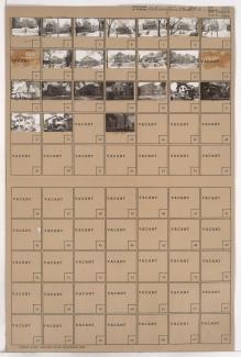
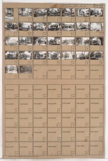
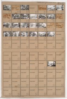
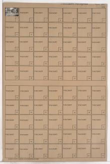
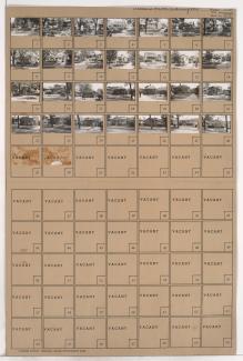
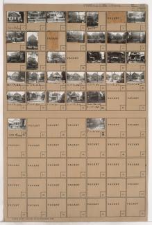
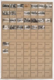
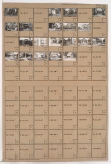
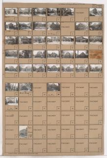
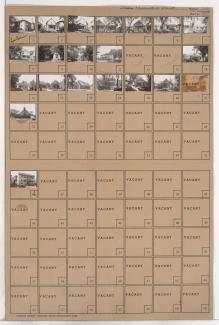
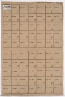
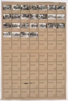
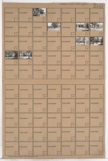
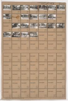
Tax Assessment Block Folder, Kansas City, MO, District 1, Block 107
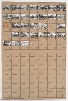
Folder contains photographs of residences in the South Indian Mound neighborhood, from Anderson Avenue south to Smart Avenue, and Chelsea Avenue east to Brighton Avenue.
Street Names