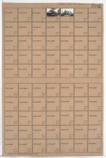
Tax Assessment Block Folder, Kansas City, MO, District 2, Block 78

Folder contains photographs of residences in an area including Kessler Park, north of Norledge Place and adjacent to Walrond Avenue and Indiana Avenue.
Street Names
Folder contains photographs of residences in an area including Kessler Park, north of Norledge Place and adjacent to Walrond Avenue and Indiana Avenue.

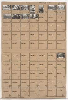
Folder contains photographs of residences in the Cliff Drive Park subdivision, from Gladstone Boulevard south to Sunrise Drive, and Gladstone Place east to Cliff Drive Place.

Folder contains photographs of residences in the Scarritt Point neighborhood, from Sunrise Drive south to Norledge Avenue, and Mersington Avenue east to Jackson Avenue, including a segment of Clinton Place.
Folder contains photographs of residences in the Cliff Drive Park subdivision, from Gladstone Boulevard south to Sunrise Drive and east to Gladstone Place.

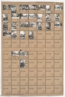
Folder contains photographs of residences and apartment buildings in the McKinney Heights subdivision, from Norledge Avenue south to Scarritt Avenue, and Mersington Avenue and Gladstone Boulevard east to Clinton Place.

Folder contains photographs of residences in the McKinney Heights subdivision, from Norledge Avenue south to Scarritt Avenue, and Clinton Place east to Jackson Avenue.

Folder contains photographs of residences in the McKinney Heights subdivision, from Scarritt Avenue south to Windsor Avenue, and Clinton Place east to Jackson Avenue.
Folder contains photographs of residences in the Ray's Hill subdivision, from Gladstone Boulevard south to Windsor Avenue, and Monroe Avenue east to Mersington Avenue.

Folder contains photographs of residences and apartment buildings in the Ray's Hill subdivision, from Windsor Avenue south to St. John Avenue, and Monroe Avenue east to Mersington Avenue.

Folder contains photographs of residences in the McKinney Heights subdivision, from Scarritt Avenue south to Windsor Avenue, and Mersington Avenue east to Clinton Place.
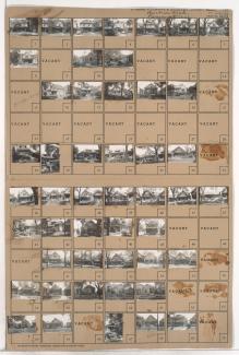
Folder contains photographs of residences, apartment buildings, and businesses in the McKinney Heights subdivision, from Windsor Avenue south to St. John Avenue, and Mersington Avenue east to Clinton Place. Shelton Motor Service, at 3922 St. John, is among the buildings pictured.

Folder contains photographs of residences and businesses in the McKinney Heights subdivision, from Windsor Avenue south to St. John Avenue, and Clinton Place east to Jackson Avenue.

Folder contains photographs of residences and businesses in the Scarritt Point neighborhood, from St. John Avenue south to Morrell Avenue, and Monroe Avenue east to Jackson Avenue. An unidentified ice cream parlor is among the buildings pictured.
One of two folders containing photographs of residences in the Scarritt Point neighborhood, from Morrell Avenue south to Anderson Avenue, and Monroe Avenue east to Jackson Avenue.

Second of two folders containing photographs of residences in the Scarritt Point neighborhood, from Morrell Avenue south to Anderson Avenue, and Monroe Avenue east to Jackson Avenue.

Folder contains photographs of residences in the Orchard Hill subdivision, from Anderson Avenue south to Smart Avenue, and Mersington Avenue east to Myrtle Avenue.

Folder contains photographs of residences in the Scarritt Point neighborhood, from Anderson Avenue south to Smart Avenue, and Myrtle Avenue east to Norton Avenue.

Folder contains photographs of residences and businesses in the Orchard Hill subdivision, from Anderson Avenue south to Smart Avenue, and Monroe Avenue east to Mersington Avenue.

Folder contains photographs of residences in the Orchard Hill subdivisions, from Anderson Avenue south to Smart Avenue, and Norton Avenue east to Jackson Avenue.

Folder contains photographs of residences in the Scarritt Point neighborhood, from Smart Avenue south to Thompson Avenue, and Norton Avenue east to Jackson Avenue.