Tax Assessment Block Folder, Kansas City, MO, District 20, Block 31
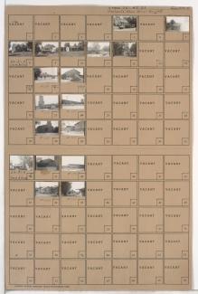
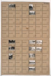
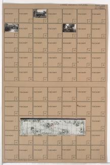
Folder contains photographs of residences and agricultural buildings in the Sechrest neighborhood, south of the 1940 Kansas City city limits and west of the Blue River.
Folder contains photographs of residences and agricultural buildings in the Sechrest neighborhood, south of the 1940 Kansas City city limits and west of the Blue River.
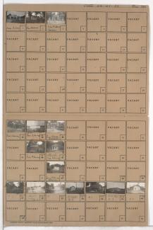
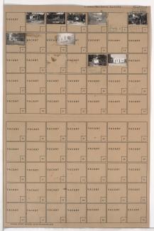
Folder contains photographs of residences, businesses, and other buildings in the Dodson neighborhood, from the 1940 Kansas City city limits south to 85th Street, and west of Indiana Avenue.
Folder contains photographs of residences and other buildings in the Marlborough East neighborhood, from the 1940 Kansas City city limits south to 83rd Street and west of the Blue River.
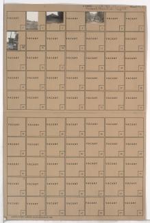
Folder contains photographs of buildings and other structures in Fairyland Park in the Marlborough East neighborhood, from 75th Street south to 77th Street, and Prospect Avenue east to Indiana Avenue. Among the pictured buildings are the main entrance hall, the Sky Rocket roller coaster, and other attractions.
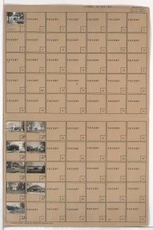
Folder contains photographs of residences and other buildings in the Marlborough East neighborhood, from 75th Street south to the 1940 Kansas City city limits, and Indiana Avenue east to Jackson Avenue, including section a section of 77th Street.
Folder contains photographs of residences, businesses, and other buildings in the Marlborough East neighborhood, from 77th Street south to the 1940 Kansas City city limits, and Prospect Avenue east to the city limits, including sections of 77th Terrace, 78th Street, 78th Terrace, and 79th Street. Swope Park Baptist Mission, at 7703 Prospect, is among the buildings pictured.
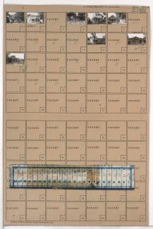
Folder contains photographs of residences in the Marlborough East neighborhood, from 77th Street south to the 1940 Kansas City limits, and Montgall Avenue east to Agnes Avenue. Folder also includes a plat map of the block.
Folder contains photographs of residences in the Marlborough East neighborhood, from 77th Street south to the 1940 Kansas City city limits, and Agnes Avenue east to Walrond Avenue.
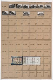
Folder contains photographs of residences in the Marlborough East neighborhood, from 77th Street south to the 1940 Kansas City city limits, and Walrond Avenue east to Indiana Avenue. Folder also includes a plat map of the block.