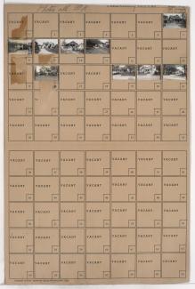
Tax Assessment Block Folder, Kansas City, MO, District 6, Block 133

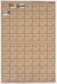
Folder contains photographs of residences in the West Blue Valley neighborhood, from 12th Street south to 14th Street, and Colorado Avenue east to Hardesty Avenue.
Street Names
Folder contains photographs of residences in the West Blue Valley neighborhood, from 12th Street south to 14th Street, and Colorado Avenue east to Hardesty Avenue.

Folder contains photographs of residences and businesses in the West Blue Valley neighborhood, from 12th Street south to 14th Street, and Lawndale Avenue east to Topping Avenue.
Folder contains photographs of buildings in the West Blue Valley neighborhood, from 14th Street south to 15th Street (later Truman Road), and Lawndale Avenue east to Topping Avenue.

Folder contains photographs of residences and other buildings in the West Blue Valley neighborhood, from 12th Street south to 14th Street, and Oakley Avenue east to Lawndale Avenue.
Folder contains photographs of residences and other buildings in the West Blue Valley neighborhood, from 14th Street south to 15th Street (later Truman Road), and Oakley Avenue east to Lawndale Avenue.

Folder contains photographs of residences in the West Blue Valley neighborhood, from 12th Street south to 14th Street, and Drury Avenue east to Oakley Avenue.
Folder contains photographs of residences and businesses in the West Blue Valley neighborhood, from 12th Street south to 15th Street (later Truman Road), and Hardesty Avenue east to Drury Avenue.

Folder contains photographs of residences and businesses in the West Blue Valley neighborhood, from 14th Street south to 15th Street (later Truman Road), and Drury Avenue east to Oakley Avenue.

Folder contains photographs of residences and businesses in the West Blue Valley neighborhood, from 14th Street south to 15th Street (later Truman Road), and Colorado Avenue east to Hardesty Avenue.

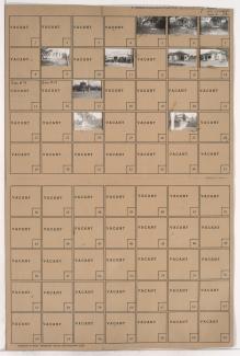
Folder contains photographs of residences in the West Blue Valley neighborhood, from 12th Street south to 14th Street, and Collins Avenue east to Colorado Avenue.

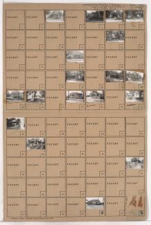
Folder contains photographs of residences and businesses in the West Blue Valley neighborhood, from 14th Street south to 15th Street (later Truman Road), and Collins Avenue east to Colorado Avenue. Henry Zinn Drugs, at 15th and Colorado, is among the buildings pictured.

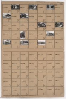
Folder contains photographs of residences, businesses, and other buildings in the West Blue Valley neighborhood, from 12th Street south to 15th Street (later Truman Road), and Denver Avenue east to Collins Avenue.

Folder contains photographs of residences and other buildings in the West Blue Valley neighborhood, from 12th Street south to 15th Street (later Truman Road), and Van Brunt Boulevard east to Denver Avenue.

Folder contains photographs of residences in the Blue Valley neighborhood, from 20th Street south to 22nd Street, and Van Brunt Boulevard east to Hardesty Avenue.
Folder contains photographs of residences in the Blue Valley neighborhood, from 17th Street south to 18th Street, and Hardesty Avenue east to Oakley Avenue.

Folder contains a photograph of a residence in the Blue Valley neighborhood, from 18th Street south to 19th Street, and Hardesty Avenue east to Oakley Avenue.

Folder contains photographs of residences in the Blue Valley neighborhood, from 19th Street south to 20th Street, and Hardesty Avenue east to Topping Avenue.

Folder contains photographs of residences in the Blue Valley neighborhood, from 20th Street south to 22nd Street, and Drury Avenue east to Oakley Avenue.
Folder contains photographs of residences in the Blue Valley neighborhood, from 20th Street south to 22nd Street, and Hardesty Avenue east to Drury Avenue.

Folder contains photographs of residences in the Blue Valley neighborhood, from 20th Street south to 22nd Street, and Oakley Avenue east to Topping Avenue.