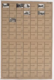
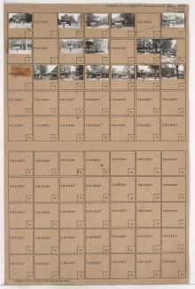
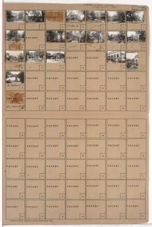
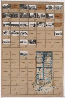
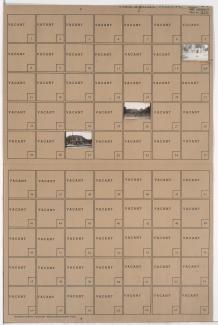
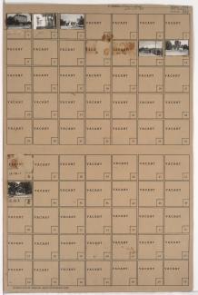
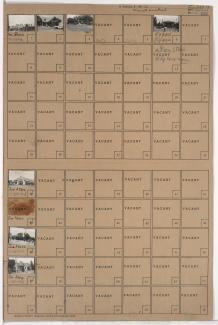
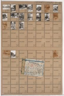
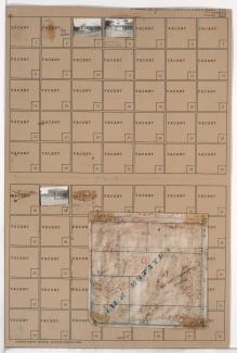
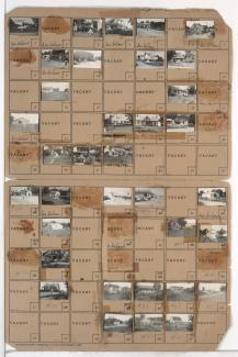
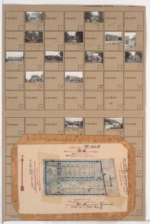
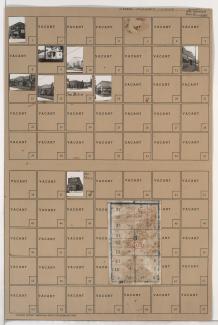
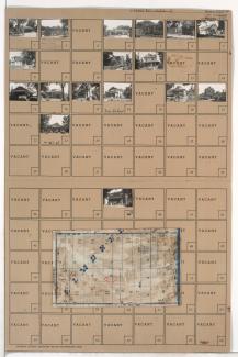
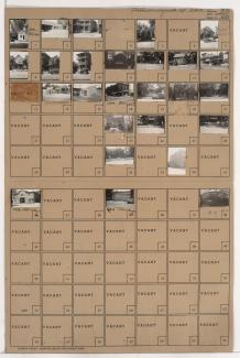
Folder contains photographs of residences, businesses, and other buildings in the Crossroads District, from 17th Street south to 18th Street, and Charlotte Street east to Campbell Street. The Missouri-Kansas Chemical Company is among the buildings pictured.
Search
Folder contains photographs of businesses and other buildings in the Crossroads District, from 16th Street south to 17th Street, and Baltimore Avenue east to Main Street. Levin Brothers Furniture Company, at 16th and Baltimore, is among the buildings pictured.
Folder contains photographs of residences, businesses, and other buildings in the Wendell Phillips neighborhood, from 22nd Street south to 23rd Street, and Wabash Avenue east to Prospect Avenue. Rose Garden Dance Hall, at 22nd and Prospect, is among the buildings pictured.
Folder contains photographs of residences, businesses, and other buildings in the Key Coalition neighborhood, from 29th Street south to 30th Street, and Brooklyn Avenue east to Park Avenue.
Folder contains photographs of residences, businesses, and apartment buildings in the Old Hyde Park neighborhood, from 36th Street south to 37th Street, and Broadway Boulevard east to Central Street. The Century Room, at 3607 Broadway, is among the buildings pictured.
Folder contains photographs of residences and businesses in the Vineyards Northwest neighborhood, from 39th Street south to 40th Street, and Norton Avenue east to Jackson Avenue. Folder also includes a plat map of the block.
Folder contains photographs of residences, businesses, and other buildings in the Westport neighborhood, from 39th Terrace south to Westport Road, and Broadway Boulevard and Washington Street east to Central Street, including a section of 40th Street. Westport Laundry Company, at 3954 Central, Wayne's Body & Fender Works, at 4045 Broadway, are among the buildings pictured. Folder also includes a plat map of the block.
Folder contains photographs of residences and businesses in the Oak Park Southwest neighborhood, from 39th Street south to 40th Street, and South Benton Avenue east to Agnes Avenue. Folder also includes a plat map of the block.
Folder contains photographs of buildings in the Squier Park neighborhood, from 37th Street south to Manheim Road, and Troost Avenue east to Forest Avenue, including a section of 37th Terrace.
Folder contains photographs of residences and other buildings in the Ivanhoe Southeast neighborhood, from 39th Street south to 40th Street, and Park Avenue east to Olive Street.
Folder contains photographs of businesses and other buildings in the South Plaza neighborhood, from Brush Creek and 48th Street (later Volker Boulevard) south to 51st Street, and Brookside Boulevard east to Oak Street, including a section of 51st Street.
Folder contains photographs of businesses in the Brookside neighborhood, from 62nd Terrace south to 63rd Street, and Brookside Boulevard east to Main Street. The John S. Watkins Drugstore, at 6249-6251 Brookside Boulevard, is among the buildings pictured.
Folder contains photographs of residences, businesses, and apartment buildings in the Westport neighborhood, from 42nd Street (later Vietnam Veterans Memorial Drive) south to 43rd Street, and Baltimore Avenue east to Main Street. Folder also includes a plat map of the block.
Folder contains photographs of businesses in the Greenway Fields neighborhood, from 63rd Street south to Meyer Boulevard, and Rockhill Road east to Troost Avenue. Folder also includes a plat map of the block.
Folder contains photographs of residences and businesses in the Armour Fields neighborhood, from 70th Terrace south to Gregory Boulevard, and Jefferson Street (later Edgevale Road) east to Wornall Road.
Folder contains photographs of businesses and other buildings in the Old Town addition, from 3rd Street south to 4th Street, and Grand Avenue east to Oak Street. Muehlebach Brewing Company facilities, at 3rd and Oak, are among the buildings pictured.
Folder contains photographs of residences, businesses, and other buildings in the Royal Oaks neighborhood, from 107th Street south to Hickman Mills Road, and Grandview Road east to Hillcrest Road.
Folder contains photographs of residences and businesses in the Waldo Homes neighborhood south of the 1940 Kansas City city limits, from 80th Street south to 80th Terrace, and Wornall Road east to Brookside Boulevard. Folder also includes a plat map of the block.
Folder contains photographs of businesses and other buildings in the North Town Fork Creek neighborhood, from Swope Parkway south to 49th Street, and Prospect Avenue east to Montgall Avenue. Folder also includes a plat map of the block.
Folder contains photographs of residences and businesses in the North Town Fork Creek neighborhood, from 58th Street south to 58th Terrace, and Askew Avenue east to Swope Parkway. Folder also includes a plat map of the block.