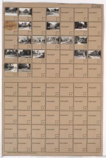
Folder contains photographs of residences in the Battleflood Heights neighborhood, from 77th Street south to 77th Terrace, and Troost Avenue east to Lydia Avenue.
Street Names
Folder contains photographs of residences in the Battleflood Heights neighborhood, from 77th Street south to 77th Terrace, and Troost Avenue east to Lydia Avenue.
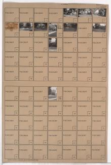
Folder contains photographs of residences in the Battleflood Heights neighborhood, from 77th Street south to 77th Terrace, and Lydia Avenue east to Paseo Boulevard.
Folder contains photographs of residences in the Walnut Grove neighborhood, from 77th Street south to 77th Terrace, and Brooklyn Avenue east to Prospect Avenue.
Folder contains photographs of residences in the Walnut Grove neighborhood, from 77th Street south to 77th Terrace, and U.S. Highway 71 (later Hickman Mills Drive) east to Brooklyn Avenue.
Folder contains photographs of residences in the 77th Terrace south to U.S. Highway 71 (later Hickman Mills Road) and 79th Street, and Brooklyn Avenue east to Prospect Avenue.
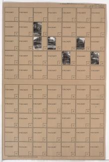
Folder contains photographs of residences in the Walnut Grove neighborhood, from 77th Terrace south to 78th Street, and Paseo Boulevard east to Brooklyn Avenue, including a section of U.S. Highway 71 (later Hickman Mills Road).
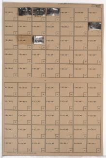
Folder contains photographs of residences in the Battleflood Heights neighborhood, from 77th Terrace south to 78th Street, and Lydia Avenue east to Paseo Boulevard.
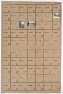
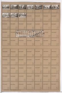
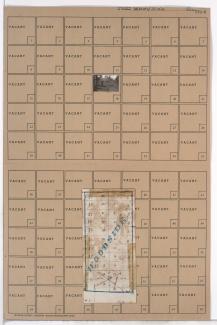
Folder contains photographs of residences and businesses in the Tower Homes neighborhood, from 77th Street south to 77th Terrace and the 1940 Kansas City city limits, and Holmes Road east to Troost Avenue, including a section of Campbell Street. Folder also includes a plat map of the block.
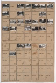
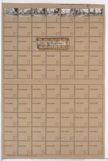
Folder contains photographs of businesses in the Tower Homes neighborhood south of the 1940 Kansas City city limits, from 77th Terrace south to 78th Street, and Wornall Road east to Brookside Boulevard.
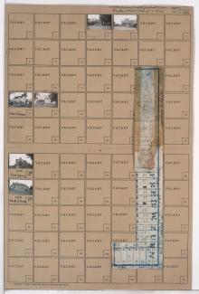
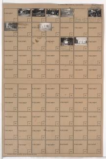
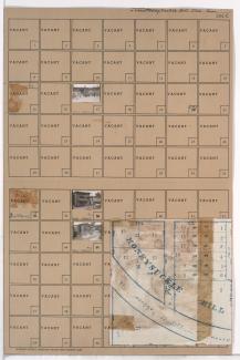
Folder contains photographs of residences in the Ward Parkway neighborhood south of the 1940 Kansas City city limits, from the city limits south to 77th Terrace, and Jarboe Street east to Madison Avenue, including a section of Belleview Avenue. Folder also includes a plat map of the block.
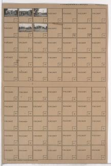
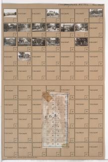
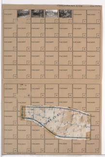
Folder contains photographs of residences in the Ward Parkway neighborhood south of the 1940 Kansas City city limits, from the city limits south to 77th Terrace, and Ward Parkway east to Jarboe Street. Folder also includes a plat map of the block.
Folder contains photographs of residences in the Ward Parkway neighborhood south of the 1940 Kansas City city limits, from 77th Terrace south to 79th Street, and Ward Parkway east to Jarboe Street. Folder also includes a plat map of the block.
Folder contains photographs of residences, businesses, and other buildings in the Marlborough East neighborhood, from 77th Street south to the 1940 Kansas City city limits, and Prospect Avenue east to the city limits, including sections of 77th Terrace, 78th Street, 78th Terrace, and 79th Street. Swope Park Baptist Mission, at 7703 Prospect, is among the buildings pictured.
Folder contains photographs of residences and businesses in the Marlborough South neighborhood south of the 1940 Kansas City city limits, from 85th Street south to 86th Street, and Highland Avenue east to Woodland Avenue. Folder also includes a plat map of the block.
Folder contains photographs of residences in the Marlborough South neighborhood south of the 1940 Kansas City city limits, south of 86th Street and from Highland Avenue east to Woodland Avenue. Folder also includes a plat map of the block.
Folder contains photographs of residences in the Marlborough South neighborhood south of the 1940 Kansas City city limits, from 85th Street south to 86th Street, and Wayne Avenue east to Highland Avenue. Folder also includes a plat map of the block.
Folder contains a photograph of a building in the Marlborough South neighborhood south of the 1940 Kansas City city limits, south of 86th Street and from Wayne Avenue east to Highland Avenue. Folder also includes a plat map of the block.
Folder contains photographs of businesses and other buildings in the Marlborough South neighborhood south of the 1940 Kansas City city limits, south of 86th Street and from Lydia Avenue east to Wayne Avenue, including a section of Flora Avenue. Folder also includes a plat map of the block.
Folder contains photographs of residences in the Marlborough South neighborhood south of the 1940 Kansas City city limits, from 85th Street south to 86th Street, and Flora Avenue east to Wayne Avenue. Folder also includes a plat map of the block.
Folder contains photographs of residences in the Santa Fe Hills neighborhood south of the 1940 Kansas City city limits, from 85th Terrace south to 86th Street, and east of Holmes Road. Folder also includes a plat map of the block.