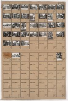
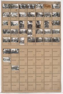
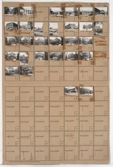
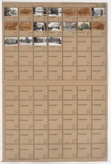
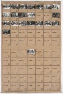
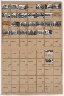
Tax Assessment Block Folder, Kansas City, MO, District 5, Block 314
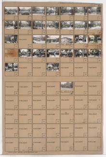
Folder contains photographs of residences and businesses in the Key Coalition neighborhood, from 30th Street south to 31st Street, and Woodland Avenue east to Michigan Avenue.
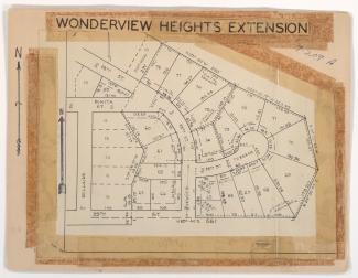
Street Names