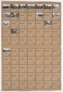
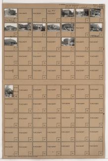
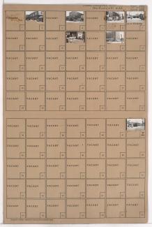
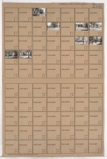
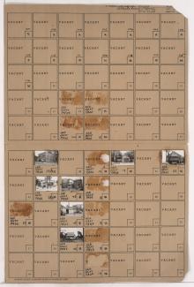
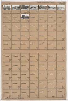
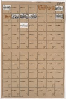
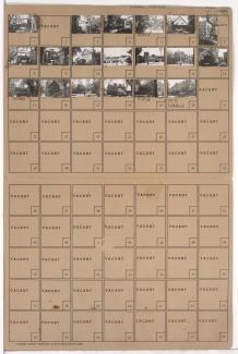
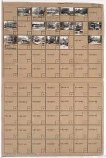
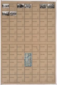
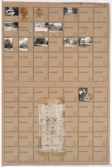
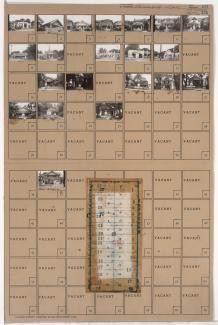
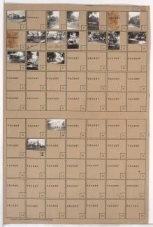
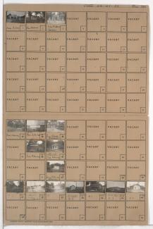
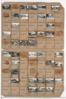
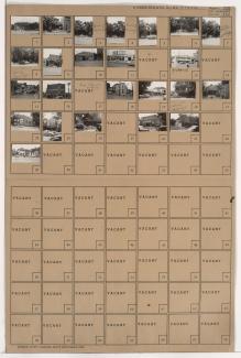
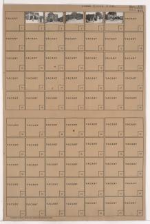
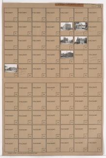
Folder contains photographs of the West Side neighborhood, from 25th Street south to 26th Street, and Belleview Street east to Madison Street. Sacred Heart Catholic Church, at 2548 Madison, Sacred Heart School, at 2547 Belleview, and Skelly Oil Company facilities are among the buildings pictured.
Search
Folder contains photographs of residences, businesses, and other buildings in the 18th and Vine District, from 14th Street south to 15th Street (later Truman Road), and Paseo Boulevard east to Vine Street. Progressive Baptist Church, at 1416 Vine, and Bungalow Lunch, at 1506 East 15th, are among the buildings pictured.
Folder contains photographs of businesses and other buildings in the Crossroads District, from 17th Street south to 18th Street, and Locust Street east to Cherry Street. The J.T. Wiles Electric Company, on 18th Street, and Missouri Valley Electric Company, at 1709-1711 Locust, are among the buildings pictured.
Folder contains photographs of businesses and other buildings in the Crossroads District, from 15th Street (later Truman Road) south to 16th Street, and Baltimore Avenue east to Main Street. Freed Wallpaper & Paint Company (later Lane Blueprint), at 1520 Main, and Hanna Rubber Company, at 1511 Baltimore, are among the buildings pictured.
Folder contains photographs of residences and businesses in the South Abington subdivision, from Thompson Avenue south to Independence Avenue, and Van Brunt Boulevard east to Chelsea Avenue. Smith's Service Station, at Independence and Van Brunt, is among the buildings pictured.
One of two folders containing photographs of residences, businesses, and other buildings in the Wendell Phillips neighborhood, from 19th Street south to 21st Street, and Vine Street east to Highland Avenue. Missouri Valley Oil Company, at 1927 Vine, is among the buildings pictured.
Folder contains photographs of businesses and other buildings in the 18th and Vine District, from 14th Street south to 15th Street (later Truman Road), and Montgall Avenue east to Chestnut Avenue.
Folder contains photographs of residences, businesses, and other buildings in the South Blue Valley neighborhood, from 24th Street south to 25th Street, and Van Brunt Boulevard east to Hardesty Avenue. First Regular Baptist Church, at 2429 Van Brunt, is among the buildings pictured.
Folder contains photographs of residences, businesses, and apartment buildings in the Old Hyde Park neighborhood, from 38th Street south to 39th Street, and Walnut Street east to Warwick Boulevard.
Folder contains photographs of residences, businesses, and apartment buildings in the Old Hyde Park neighborhood, from 37th Street south to 38th Street, and Baltimore Avenue east to Main Street. The Goodenow Textile Company, at 3710 Main, and Kitty Clover Potato Chips, at 3716 Main, are among the buildings pictured.
Folder contains photographs of residences and businesses in the Westport neighborhood, from 39th Street south to 39th Terrace, and Washington Street east to Broadway Boulevard. Folder also includes a plat map of the block.
Folder contains photographs of residences, businesses, and apartment buildings in the Manheim Park neighborhood, from 45th Street south to 46th Street, and Virginia Avenue east to Paseo Boulevard. Folder also includes a plat map of the block.
Folder contains photographs of residences and businesses in the South Plaza neighborhood, from 49th Street south to 50th Street, and Baltimore Avenue east to Main Street. Folder also includes a plat map of the block.
Folder contains photographs of residences and businesses in the Blue Hills neighborhood, from 62nd Street south to 63rd Street, and Wabash Avenue east to Prospect Avenue.
Folder contains photographs of residences and businesses in the Morningside neighborhood, from 63rd Street south to Meyer Boulevard, and McGee Street east to Oak Street.
Folder contains photographs of residences, businesses, and other buildings in the Dodson neighborhood, from the 1940 Kansas City city limits south to 85th Street, and west of Indiana Avenue.
Folder contains photographs of residences, businesses, and other buildings in the Royal Oaks neighborhood, from 107th Street south to Hickman Mills Road, and Grandview Road east to Hillcrest Road.
Folder contains photographs of residences and businesses in the West Side neighborhood, from 21st Street south to 23rd Street, and Jefferson Street east to West Pennway, bisected by Southwest Boulevard. A Milgram grocery store is among the buildings pictured. Rogers Metal Works, at 2123 Jefferson, and Blue Bird Laundry, at 2129-2133 Jefferson, are among the buildings pictured.
Folder contains photographs of businesses and other buildings east of downtown Kansas City, from Independence Avenue south to 6th Street Trafficway, and Oak Street east to Oak Street Trafficway.
Folder contains photographs of businesses and other buildings in downtown Kansas City, from 8th Street south to 9th Street, and McGee Street east to Oak Street. The Fredric Hotel is among the buildings pictured.