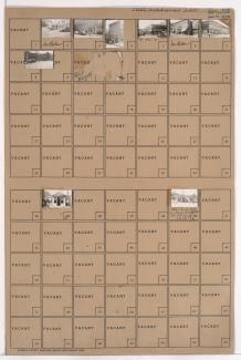
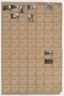
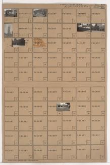
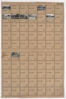
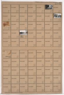
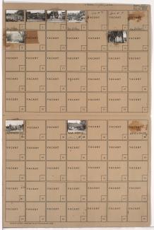
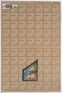
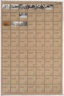
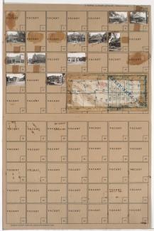
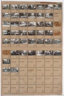
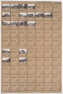
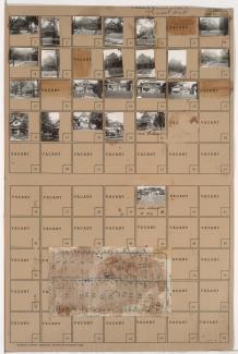
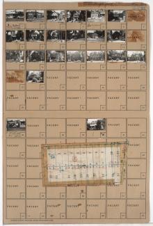
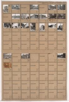
Folder contains photographs of residences, apartments, and other buildings in the 18th and Vine District, from 14th Street south to 15th Street (later Truman Road), and Vine Street east to Highland Avenue. Gillpatrick's Steam Laundry, at 1600 East 15th, and Bailey's Fix-It Shop, at 1615 East 14th Street, are among the buildings pictured.
Search
Folder contains photographs of businesses and other buildings in downtown Kansas City, from 11th Street south to 12th Street, and Central Street east to Wyandotte Street. The Hotel Rasbach, at 116 Wyandotte, and the Central Building, housing many shores and restaurants at 12th and Central, are among the buildings pictured.
Folder contains photographs of residences, businesses, and other buildings in the Crossroads District, from 17th Street south to 18th Street, and Holmes Street east to Charlotte. The Holtman Building, at 708 East 18th Street, is among the buildings pictured.
Folder contains photographs of businesses and other buildings in downtown Kansas City, from 12th Street south to 13th Street, and Wyandotte Street east to Baltimore Avenue. The Muehlebach Hotel, at 12th and Baltimore, the Orpheum Theatre, at 1212 Baltimore, and the Aladdin Hotel, at 1215 Wyandotte, are among the buildings pictured. The Kansas City Power and Light building can be seen in the background of one image.
Folder contains photographs of businesses and other buildings in downtown Kansas City, from 13th Street south to 14th Street, and Wyandotte Street east to Baltimore Avenue. The Kansas City Power & Light Company building, at 14th and Baltimore, and other KCPL facilities are among the buildings pictured.
Folder contains photographs of businesses in downtown Kansas City, from 13th Street south to 14th Street, and McGee Street east to Oak Street. Walsh Motors, at 13th and McGee, is among the businesses pictured.
Folder contains photographs of residences, buildings, and other buildings in the Mount Hope neighborhood, from 30th Street south to 31st Street, and Paseo Boulevard east to Flora Avenue.
Folder contains photographs of residences and businesses in the Washington Wheatley neighborhood, from 22nd Street south to 23rd Street, and Indiana Avenue east to Bales Avenue.
Folder contains photographs of residences and businesses in the Ingleside neighborhood, from 27th Street south to 28th Street, and Indiana Avenue east to Bales Avenue. A Kroger grocery store, at 3401 East 27th, is among the buildings pictured. Folder also includes a plat map of the block.
Folder contains photographs of residences, businesses, and other buildings in the Santa Fe neighborhood, from 30th Street south to 31st Street, and Chestnut Avenue east to Benton Boulevard. Benton School, at 3004 Benton, is among the buildings pictured. Folder also includes a plat map of the block.
Folder contains photographs of residences and businesses in the Oak Park Northwest neighborhood, from Linwood Boulevard south to 33rd Street, and College Avenue east to Indiana Avenue.
Folder contains photographs of businesses and apartment buildings in the Old Hyde Park neighborhood, from Armour Boulevard south to 36th Street, and Baltimore Avenue east to Main Street. Wolfermann's Food Store, 15 West Armour, the Alps Apartments, at 20 West 36th, and the Baltimore Apartment Hotel, at 3521 Baltimore, are among the buildings pictured.
Folder contains photographs of buildings in the Westport neighborhood, from Westport Road south to 40th Street, and Baltimore Avenue east to Main Street. Katz Drugstore, at Westport and Main, is among the buildings pictured. Folder also includes a plat map of the block.
Folder contains photographs of residences and other buildings in the Westport neighborhood, from 39th Terrace south to 40th Street, and Washington Street east to Broadway Boulevard. Broadway Baptist Church, at 39th and Washington, is among the buildings pictured.
Folder contains photographs of residences, businesses, and other buildings in the Oak Park Southwest neighborhood, from 39th Street south to 40th Street, and Prospect Avenue east to Montgall Avenue. Oak Park Theater, at 3935 Prospect, is among the buildings pictured. Folder also includes a plat map of the block.
Folder contains photographs of residences and businesses in the Ivanhoe neighborhood, from 37th Street south to 38th Street, and Highland Avenue east to Woodland Avenue.
Folder contains photographs of businesses and other buildings in the North Hyde Park neighborhood, from 31st Street south to Linwood Boulevard, and Gillham Road east to Holmes Street. Borden's Home Dairy, on Holmes, and Kate Hickle's French Laundry, at 3121 Gillham, are among the buildings pictured. Folder also includes a plat map of the block.
Folder contains photographs of residences, businesses, and apartment buildings in the Manheim Park neighborhood, from 39th Street south to 40th Street, and Troost Avenue east to Forest Avenue. Folder also includes a plat map of the block.
Folder contains photographs of residences, businesses, and apartment buildings in the Manheim Park neighborhood, from 46th Street south to 47th Street, and Troost Avenue east to Forest Avenue. Lewis Appliance Company, at 47th and Troost, and an A&P Supermarket, at 4625-4627 Troost, are among the buildings pictured. Folder also includes a plat map of the block.
Folder contains photographs of residences, businesses, and other buildings in the North Hyde Park neighborhood, from 33rd Street south to 34th Street, and Harrison Avenue east to Troost Avenue. Rosell's Market, at 3300 Troost, and Herzmark Auto Service, at 3308 Troost, are among the buildings pictured. Folder also includes a plat map of the block.