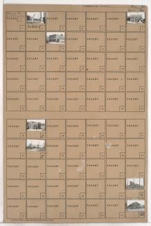
Folder contains photographs of residences and other businesses in the Eastwood Hills West neighborhood, from the Blue River east to Brighton Avenue and north to Blue Banks Avenue, including a section of Colorado Avenue.
Street Names
Folder contains photographs of residences and other businesses in the Eastwood Hills West neighborhood, from the Blue River east to Brighton Avenue and north to Blue Banks Avenue, including a section of Colorado Avenue.
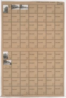
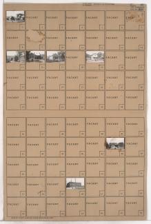
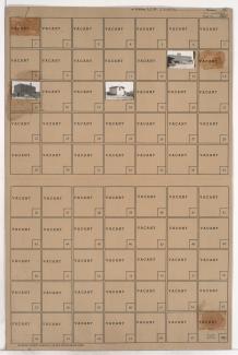
Folder contains photographs of residences in the Eastwood Hills West neighborhood, from 47th Street south to Blue Banks Avenue, and Brighton Avenue east to the Blue River, including sections of Quincy, Denver, Colorado, and Hardesty Avenues.
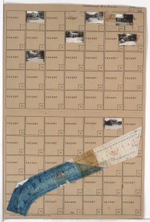
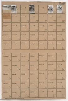
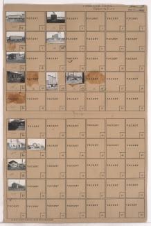
Folder contains photographs of residences in the Eastwood Hills West neighborhood, from Blue Banks Road south to the Blue River, and Brighton Avenue east to Colorado Avenue. Hackett's Market, at Blue Banks and Brighton, is among the buildings pictured. Folder also includes a plat map of the block.
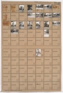
Folder contains photographs of the Continental Can Company and Brown-Strauss Steel Company in the Northeast Industrial Area, on a block consisting of Front Street south to Guinotte Avenue, and Lydia Avenue east to Vine Street. Continental Can Company, at Lydia and Guinotte, and Brown-Strauss Steel Company, at Vine and Guinotte, comprise the buildings pictured.
Folder contains a photograph of a structure in the Northeast Industrial District, from Empire Road south to Front Street, and Monroe Avenue east to Jackson Avenue.
Folder contains photographs of residences and other buildings in the Northeast Industrial District, from Front Street south to Gardner Avenue, and Monroe Avenue east to Jackson Avenue.
Folder contains photographs of residences and other buildings in the Northeast Industrial District, from the Missouri River and Empire Road south to Front Street and Gardner Avenue, and the river and Walrond Place east to Bales Avenue and Monroe Avenue.
Folder contains photographs of residences in the Northeast Industrial District, from Front Street south to 2nd Street, and Bales Avenue east to Askew Avenue.
Folder contains photographs of residences in the Northeast Industrial District, from Front Street south to 2nd Street, and Askew Avenue east to Monroe Avenue.
Folder contains photographs of businesses and industrial buildings Northeast Industrial District on two blocks, from Front Street south to Guinotte Avenue, and Vine Street east to Highland Avenue, bisected by Alton Avenue. Brown-Strauss Steel Company facilities are among the buildings pictured.
Folder contains photographs of residences in the Northeast Industrial District, from Front Street south to Guinotte Avenue, and Highland Avenue east to Shelley Avenue.
Folder contains a photograph of Barada & Page, Incorporated facility, in the Northeast Industrial District from Front Street south to Guinotte Street, and Woodland Avenue east to Michigan Avenue.
Folder contains photographs of residences and industrial buildings in the Northeast Industrial District, from Front Street south to Guinotte Avenue, and Michigan Avenue east to Garfield Avenue, bisected by Euclid Avenue running north-south and Edgar Avenue running east-west. A Barada & Page, Incorporated facility is among the buildings pictured.
Folder contains photographs of residences and other structures in the Northeast Industrial District, from Front Street south to Heim Avenue, and Garfield Avenue east to Brooklyn Avenue.
Folder contains photographs of residences and other structures in the East Bottoms area, from Front Street south to Heim Avenue, and Brooklyn Avenue east to Park Avenue.
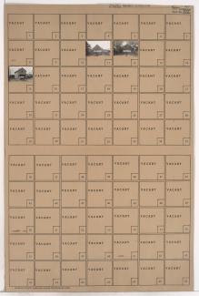
Folder contains a photograph of a residence in the Northeast Industrial District, in an area bounded by the Missouri River on the northeast, Topping Avenue on the east, and the Chicago, Milwaukee, and St. Paul Railroad and Front Street on the south.
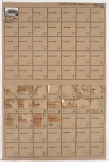
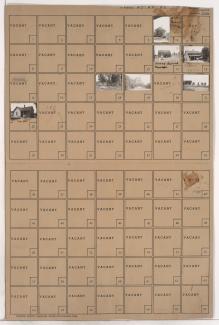
Folder contains photographs of businesses and industrial buildings in the Old Town addition, from Front Street south to 2nd Street, and Walnut Street east to Grand Avenue, including a section of Pine Avenue. Spencer Produce Company, at 128-132 Grand, Stewart Sand and Materials Company, at 100-120 East 2nd Street, and Michael-Swanson-Brady Produce Company, at 113-115 Walnut, are among the buildings pictured.
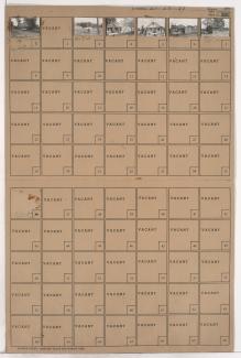
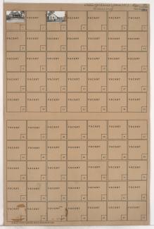
Folder contains photographs of businesses and other buildings in the Old Town addition, from Front Street south to 2nd Street, and Main Street east to Walnut Street. The Kansas City Southern Railroad office, at 2nd and Main, is among the buildings pictured. The A.S.B. Bridge can seen in the background of an image.
Folder contains a photograph of the Superior Ice and Storage Company building in the Old Town addition, from Front Street south to the intersection of Elm Street and Delaware Street.
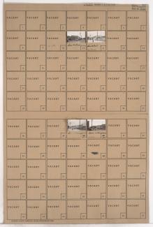
Folder contains photographs of industrial buildings in an area of Northeast Kansas City between the Missouri River and the rail lines, 1st Street, and Front Street, and spanning from the Hannibal Bridge to the A.S.B. Bridge, which can be seen in the background of one of the images.